CAPE LEEUWIN


ABOUT CONTACTS - DONATE - FOUNDATION - HOME - A-Z INDEX


Cape 
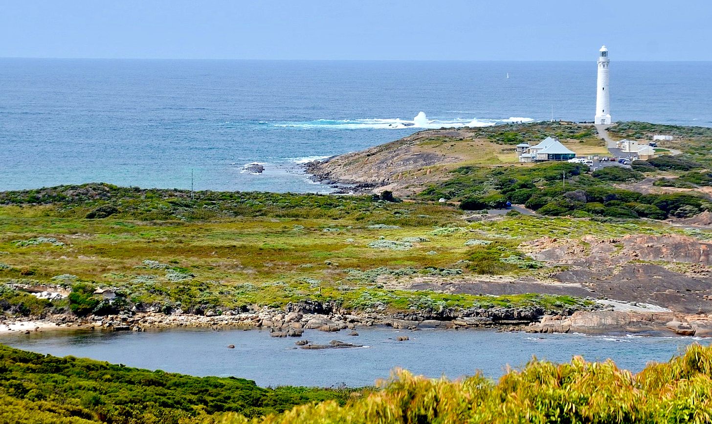
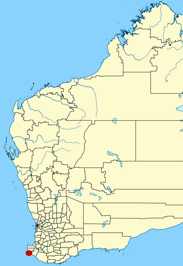
Leeuwin is the most south-westerly (but not most southerly) mainland point of the Australian continent, in the state of Western Australia. 

Cape Leeuwin is often grouped with the next headland north, Cape Naturaliste, to identify the geography and ecology of the region. One example is in the name Leeuwin-Naturaliste National Park. Another is in the use of the phrases Cape to Cape or the Capes in tourist promotional materials. A shore base and a ship of the Royal Australian Navy have been named HMAS Leeuwin after the cape. 

HISTORY

he Wardandi, an Aboriginal Australian people, were the first peoples in the area. They called it "Doogalup".

The English navigator Matthew Flinders named Cape Leeuwin after the first known ship to have visited the area, the Leeuwin ("Lioness"), a Dutch vessel that charted some of the nearby coastline in 1622. The log of the Leeuwin has been lost, so very little is known of the voyage. However, the land found by the Leeuwin was recorded on a 1627 map by Hessel Gerritsz: Caert van't Landt van d'Eendracht ("Chart of the Land of Eendracht"), which appears to show the coast between present-day Hamelin Bay and Point D’Entrecasteaux. Cape Leeuwin itself cannot be recognised.

Other European vessels passed by for the next two centuries, including the Dutch 't Gulden Zeepaert, commanded by François Thijssen, in 1627 and the French Gros Ventre, under Louis Aleno de St Aloüarn, in 1772.


The first known European sighting of the cape was by Bruni d'Entrecasteaux in 1791. d'Entrecasteaux thought the cape was an island, and named it "Isle St Allouarn" ("St Allouarn Island"), in honour of Captain de St Aloüarn. Ten years later, Matthew Flinders began his survey of the South coast of New Holland from Cape Leeuwin in 1801 when he named it. Flinders landed in the bay to the east of Cape Leeuwin, today's Flinders Bay. Flinders was aware that the area had been known to the Dutch as "Leeuwin's Land".

At two in the morning we had 80 fathoms, and veered towards the land. It was seen from the masthead at five; and the highest part, the same which had been set in the evening, bore N. 12° W. This is the largest of the before-mentioned Isles of St Alouarn; but at half past seven we saw hills extending from behind, and, to all appearance, joining it to the mainland. This supposed isle is, therefore, what I denominate "Cape Leeuwin", as being the south-western and most projecting part of Leeuwin's Land.

The St Alouarn Islands is a group of islands off the tip of Cape Leeuwin.


Cape Leeuwin is one of three capes, included in several offshore yacht races, including the Jules Verne Trophy.


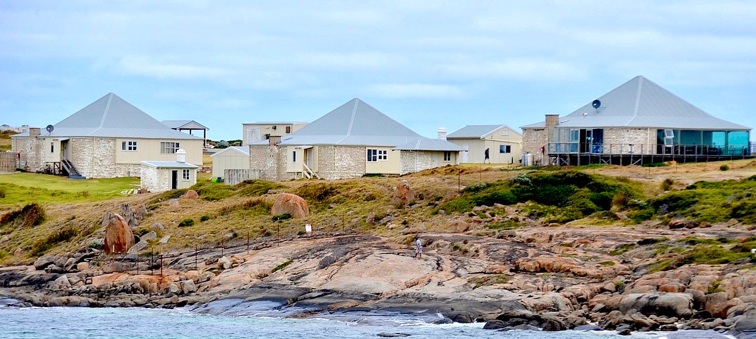
A few small islands and rocks, the St Alouarn Islands, extend further in Flinders Bay to the east of the cape. The nearest settlement, north of the cape, is Augusta. South-east of Cape Leeuwin, the coast of Western Australia extends much further south. Cape Leeuwin is not the southernmost point of Western Australia, with that distinction belonging to West Cape Howe, which is to the southeast, near Albany.
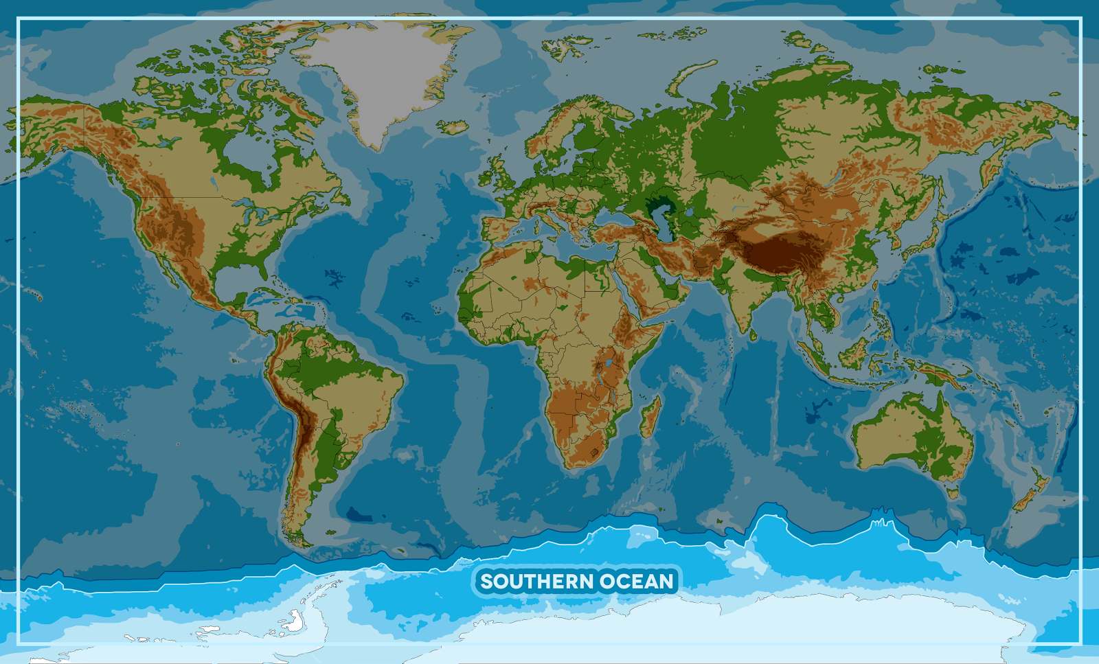
In Australia, the cape is considered where the Indian Ocean meets the Southern Ocean, but most other nations and bodies consider that the Southern Ocean exists only south of 60°S.

Located on headland of the cape is the Cape Leeuwin Lighthouse and the buildings that were used by the lighthouse-keepers.

Cape Leeuwin is considered one of the three "great capes" of the world. Coordinates: 34°22′27″S 115°08′09″E

Cape Leeuwin is mentioned in the poem associated with the children's story The Sing-Song of Old Man Kangaroo by Rudyard Kipling. The poem is also the best way for outsiders to learn the cape's correct pronunciation; to rhyme with "flew in".


Southern Ocean cleanup game using SeaVax solar machines


OCEAN AWARENESS CAMPAIGN As part of the Cleaner Ocean Foundation's ocean literacy campaign, we are developing a game that can be played on mobile devices like the iphone or android smart phones. In this game children learn a little about geography as they select one of five ocean areas to rid of marine litter. The screen above shows that the player has selected the Southern Ocean to tackle. Copyright Map © January 29 2018 all rights reserved COF Ltd. Copyright Maps © January 29 2018 all rights reserved COF Ltd.


LINKS & REFERENCE


https://


..


AEGEAN - ACIDIFICATION - ADRIATIC - ARCTIC - ATLANTIC - BALTIC - BAY BENGAL - BAY BISCAY - BERING - BLACK - CARIBBEAN - CASPIAN - CORAL - EAST CHINA SEA

ENGLISH CH - GOC - GUANABARA - GULF GUINEA - GULF MEXICO - INDIAN - IRC - IONIAN - IRISH - MEDITERRANEAN - NORTH SEA - PACIFIC - PERSIAN GULF - SEA JAPAN

STH CHINA - PLASTIC - PLANKTON - PLASTIC OCEANS - RED - SARGASSO - SEA LEVEL RISE - SOUTHERN - TYRRHENIAN - UNCLOS - UNEP WOC - WWF


GANGES - NILE


 BIOMAGNIFICATION - BP DEEPWATER - CANCER - DDT - FISHING NETS - FUKUSHIMA - MICROBEADS - MICRO PLASTICS - OCEAN GYRES - OCEAN WASTE - PACKAGING - PCBS - PET - PLASTIC - POPS - SINGLE USE


 This website is provided on a free basis as a public information service. copyright © Cleaner Oceans Foundation Ltd (COFL) (Company No: 4674774) 2024 Solar Studios, BN271RF, United Kingdom. COFL is a charity without share capital. The names Amphimax™ and SeaVax™ are trademarks.


CAPE LEEUWIN IS THE SOUTHERN MOST TIP OF WESTERN AUSTRALIA